Undiscovered Places of Svaneti. Affordable Hikes and Climbs.
Home
Mountain Climbing
MULTI DAY TRIPS
DAY HIKES
REVIEWS
BOOKING & PAYMENT
FAQ
EQUIPMENT RENTAL
Blog
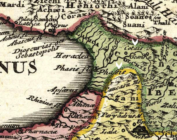
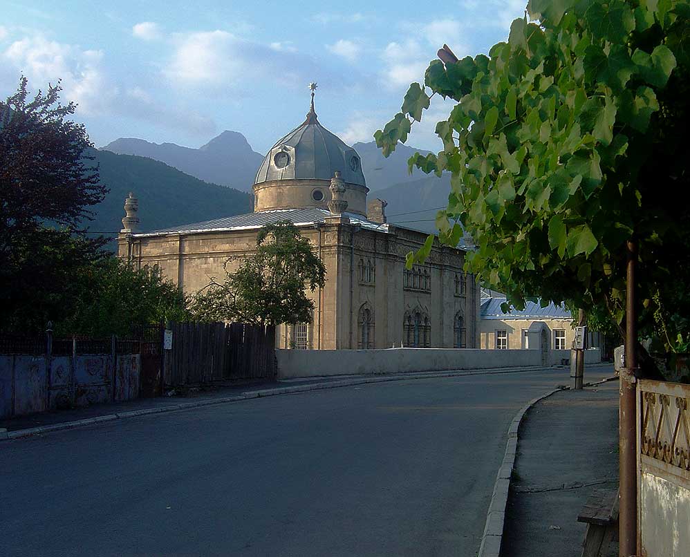
GEORGIA
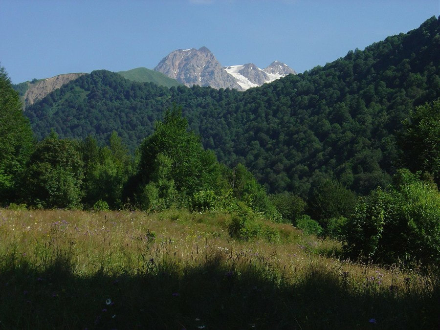
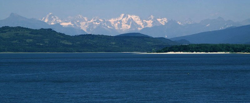
SVANETI PANORAMA
Home
Mountain Climbing
MULTI DAY TRIPS
DAY HIKES
REVIEWS
BOOKING & PAYMENT
FAQ
EQUIPMENT RENTAL
Blog
GEORGIA
SVANETI PANORAMA
 RSS Feed