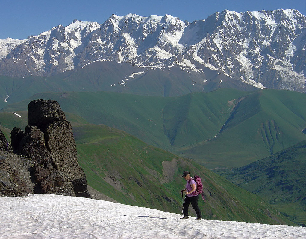
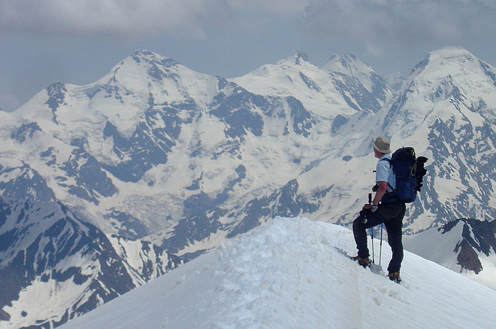
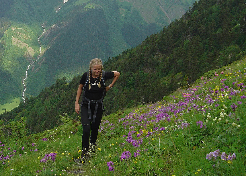
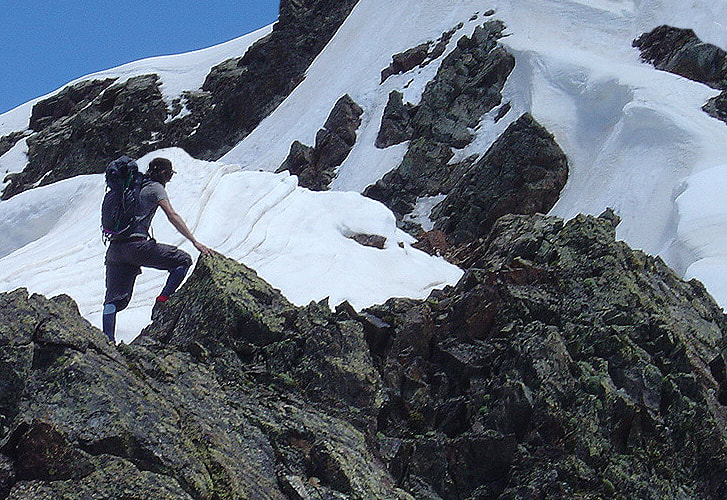
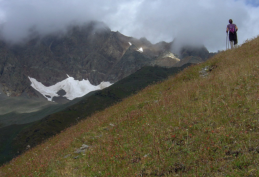
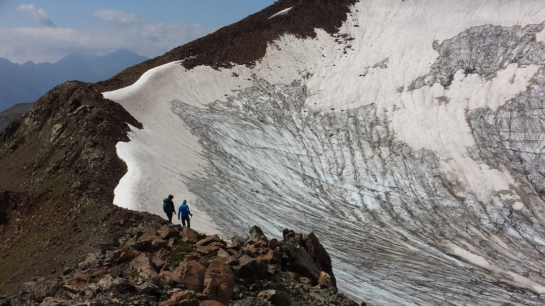
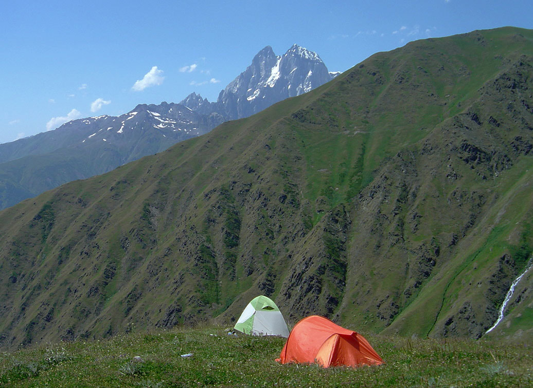
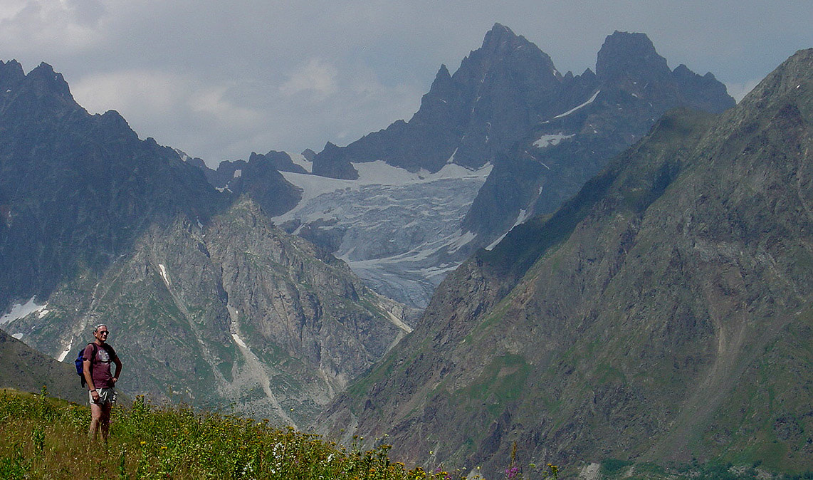
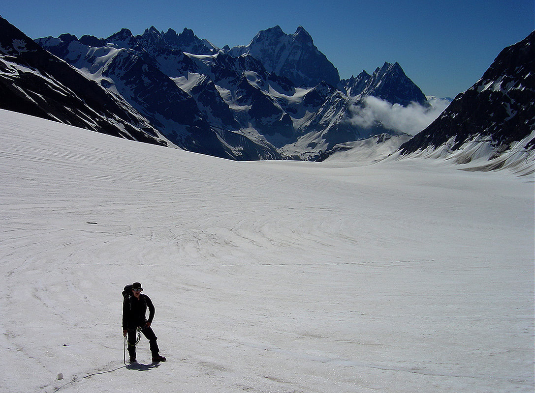
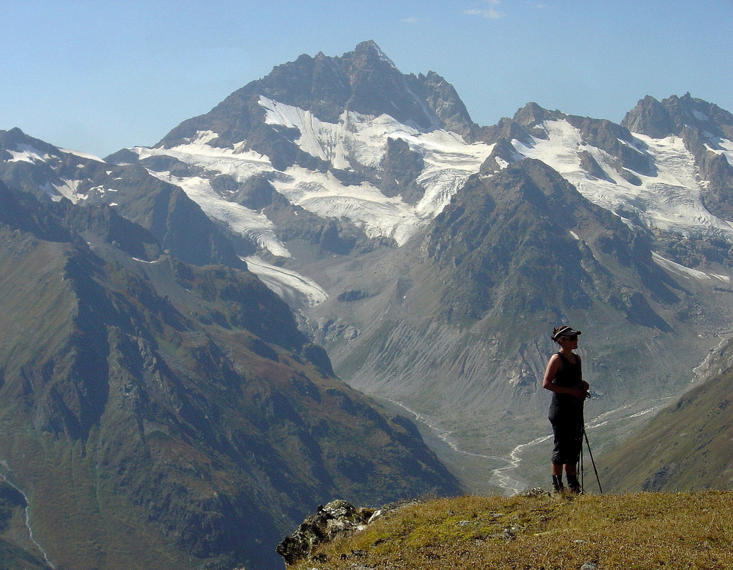
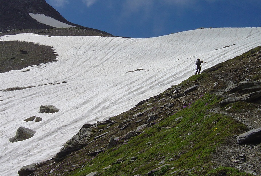
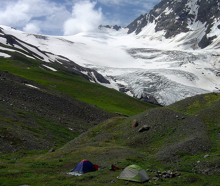
2017 in Twelve Pictures Final steps on approach to Dadiashi saddle (3050m). Icy barrier of Shkhara and Dzhangi blocks the horizon. These peaks are among the highest in the Caucasus. Snow ridge above Nurmish Pass (3600m) offers an unequaled views of Gestola (left) and Tetnuld (right). Meadows in full bloom below Mt.Latraldash (3370m). That slightly overcast day was perfect for taking pictures of flowers. Note also the white thread of mountain stream. Summit ridge of Mt.Latraldash. It was the first guided climb of the season therefore the most difficult. Some care should be taken while negotiating this section. Overall this is an easy scrambling route. On the day hike around Mestia. Seri glacier above Herazh plateau. In September most glaciers look this way so crampons are absolute necessity. The base camp of peak Komsomol at 2600m. Another 1100m should be climbed to reach it's top with splendid views of Svaneti mountains. Ushba is as always present! In the forgotten corner of Svaneti. Peaks, glaciers and meadows. White expanse of Dolra glacier which is among the largest in Svaneti. Cloudless day with great views of Ushba and surrounding peaks. Beautiful late afternoon in September after climbing Mt.Kvamp (3560m) Approaching Chizhdi Pass (3100m) on the way to Mt.Layla West Layla glacier and the base camp (2700m) of Mt.Layla
21 Comments
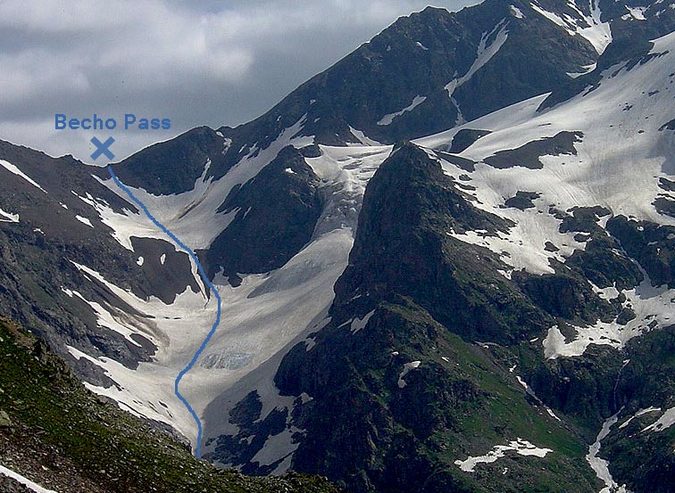
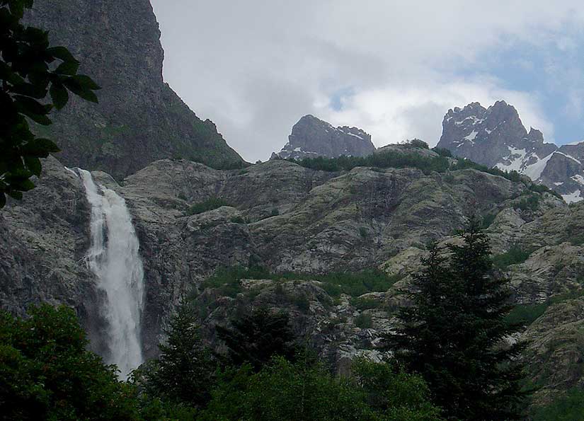
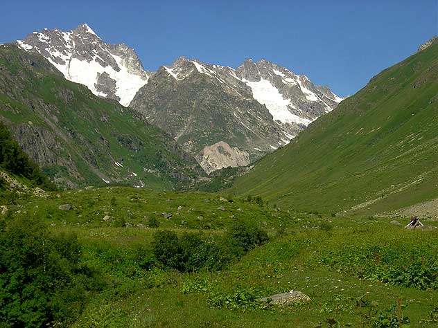
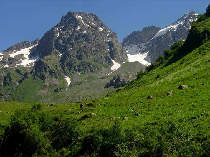
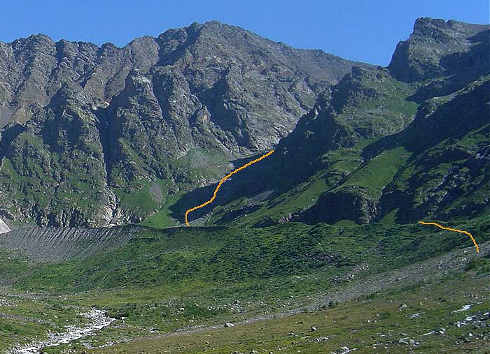
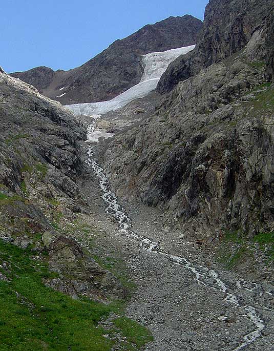
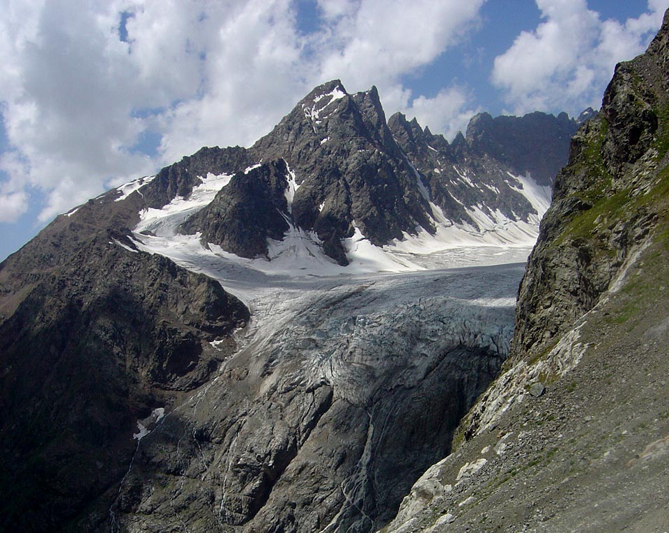
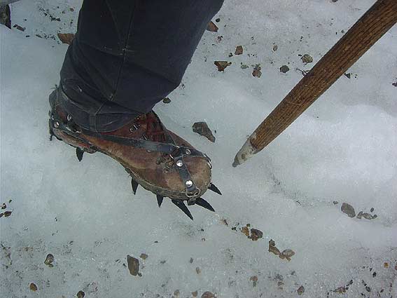
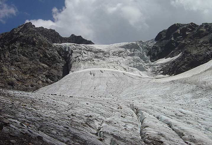
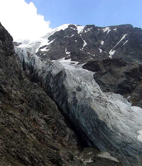
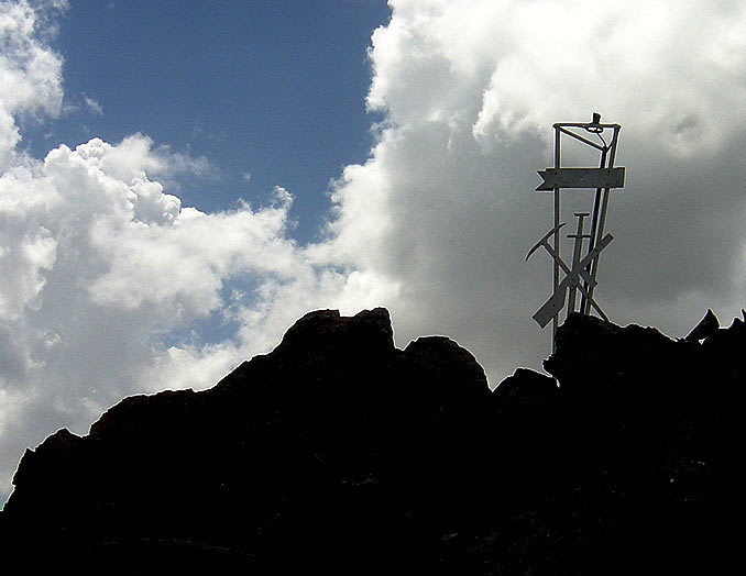
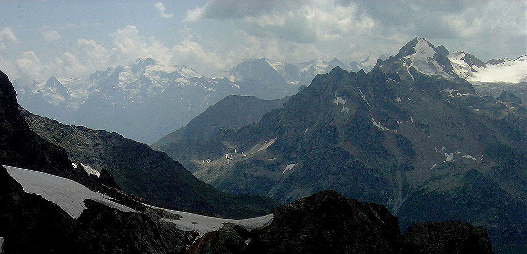
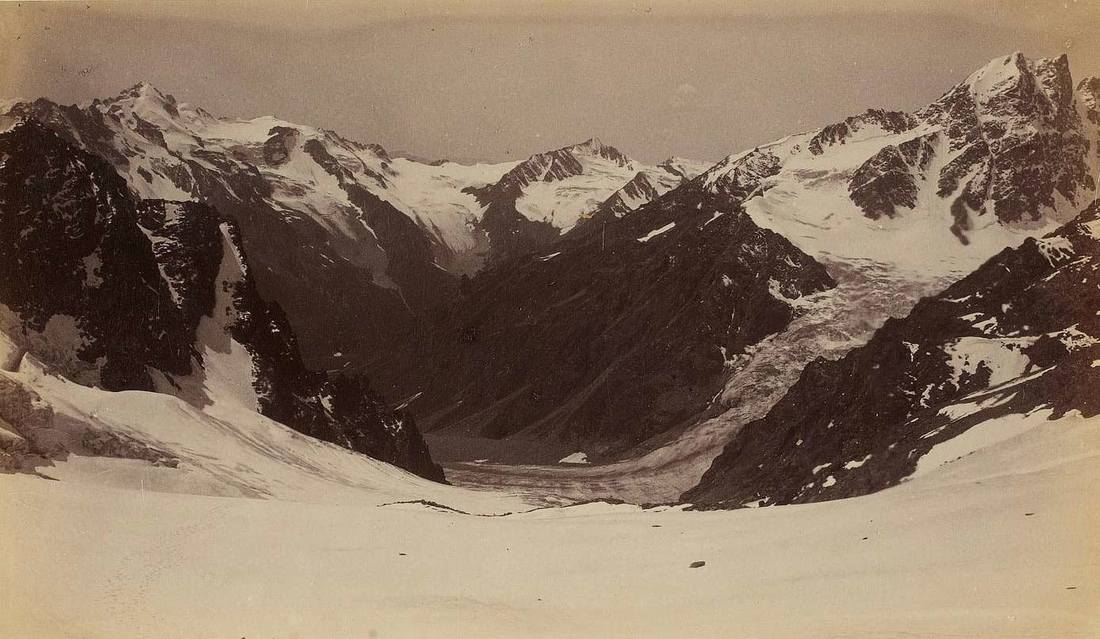
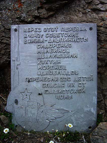
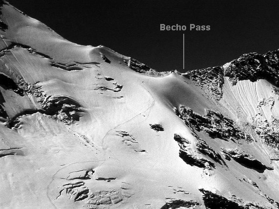
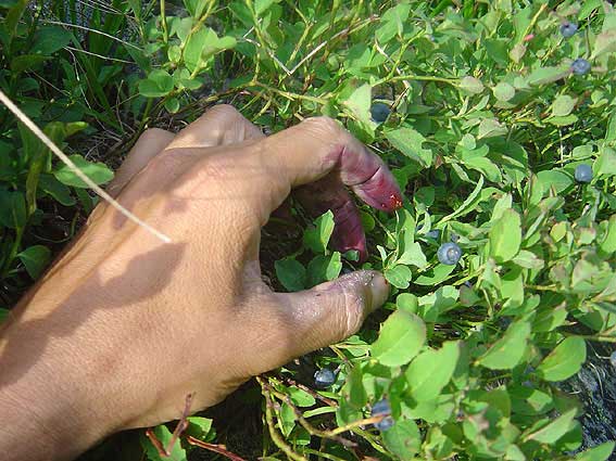
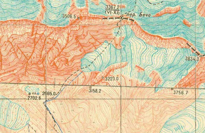
Becho Pass (3367m) was once an important link between Svaneti and Balkaria region of Northern Caucasus. Work, shopping and seeing relatives were the main reasons why svans crossed this glaciated pass. It often took only one day to walk from Mazeri to Baksan. And this route was never an easy one. Walking from the north the difficult Yusengi glacier had to be negotiated, while the south side was slightly easier, except some steep places above Kerunda glacier. But all this is not relevant anymore-today Becho Pass is on the state border between Georgia and Russia so access is absolutely prohibited. A well-bitten trail of old days has completely disappeared. I remembered this pass from my childhood and couldn't resist visiting it again after 25 years. And I was lucky to avoid any troubles. With permit you can get as far as moraine lake below Kerunda glacier and it makes a fine day hike. Here I will describe that long day (14 hours) of August 2010 I spent a night near the Border Post across the bridge, 2 hours walk from Mazeri (guards gave me so much food, that I had to share it later with others). Waterfalls were perfectly seen from my tent as well as towers of Shkhelda (4350m). There were very few tourists because Svaneti was still at the dawn of it's "touristic renaissance". Left my tent early, at 6 o'clock in the morning. The day was clear and I was in high spirits. Dolra flows in a deep gorge and the trail runs high above it's roaring waters. After 2 hours of walking the valley opens up and snow peaks of Nakra Range come into view. Here is the confluence of Dolra with powerful tributary of Kvish that originates in the massive glaciers above upper Kvish valley. This place is popular for grazing and it's flat expanse creates a stark contrast to the rugged peaks above. Only a faint trail continues further toward Main Caucasus Range whose rock towers are blocking the north view. Becho doesn't give you any hint-it's saddle is completely out of view and is hidden among those rocky ridges. Moraine which is almost completely overgrown is the point above which you are not allowed to proceed. So disregard this orange line because it shows my "unlawful" activity on that day. Climbing this moraine was exhausting and the lake in it's "pocket" had to be approached with caution as it's sandy bottom was unstable and one leg went into a sink hole right up to my knee. From there I could see the first part of the ascent along the stream in a deep gully leading to Kerunda glacier. In some places I had to stick close to rocks above rapid waters but except danger of stone fall it didn't pose any problems. The beauty of pointed towers of Dolratau above Dolra glacier made me turn my head constantly. This glacier receded dramatically during the last 150 years leaving behind the huge moraine that was mentioned before. Today it is still among the largest glaciers of Svaneti. Friction climbing on ice polished slabs brought me finally to Kerunda glacier where I had to use my crampons. Crevasses were narrow and easily negotiable. In front of me the glacier was clamped in between the rocks and this pressure created an impressive icefall It's size could be appreciated even more after I climbed another 300m (upper snow field at cover photo) and saw it in profile I already could see the monument commemorating the 1942 battle for Caucasus. That last stretch was anything but easy, but the will to see "what is there on the other side" made me almost run. At 2 o'clock in the afternoon I finally reached Becho Pass. Elbrus was behind thick clouds and the north view facing Baksan valley was rather limited. Some people believe that Baksan is originally a svanuri name ("Bak" means pass, "san" is similar to suan, the ancient name of svans) and part of the northern Caucasus was populated by svans. South view stretched as far as Svaneti Range with Layla and snow dome of Mt.Charinda in the middle ground. It is interesting that there exist a perfect panorama from Kerunda glacier taken by Dechy in 1885. This Hungarian gentlemen made three extensive journeys in the Caucasus and collected considerable amount of scientific information. He was truly a pioneer of Caucasian photography and the well-known book by Freshfield contains large number of his best images. For glaciologist this unique panorama is a precious proof of how much the glaciers have receded . Note how Dolra glacier fills the valley. A plaque reminded of the 1942 winter-time flight of 230 childern and dozens of adults (half of them older people) crossing Becho from the Russian valley, south to comparative safety of Svaneti. This long and dangerous passage was possible only with help of six officers-alpinists of mountain unit whose names are on this plaque. To realize the difficulties of this crossing it is helpful to look at the photo of the upper slopes of Yusengi glacier (snow track is clearly visible) below Becho Pass. After an hour spent at the pass I began to descend. Overall the return trip was easy and also very delicious thanks to blueberries that grow their in profusion. In the morning I had to bypass those tempting spots! No description may get along without a good map. And this 1942 map is more than appropriate here. I could learn that there is 667m climb from the moraine lake to the top of Becho Pass so with simple calculations you can find out the average angle of this climb.
Will I ever see again those windy heights of Becho? I hope very much that I will. |
 RSS Feed