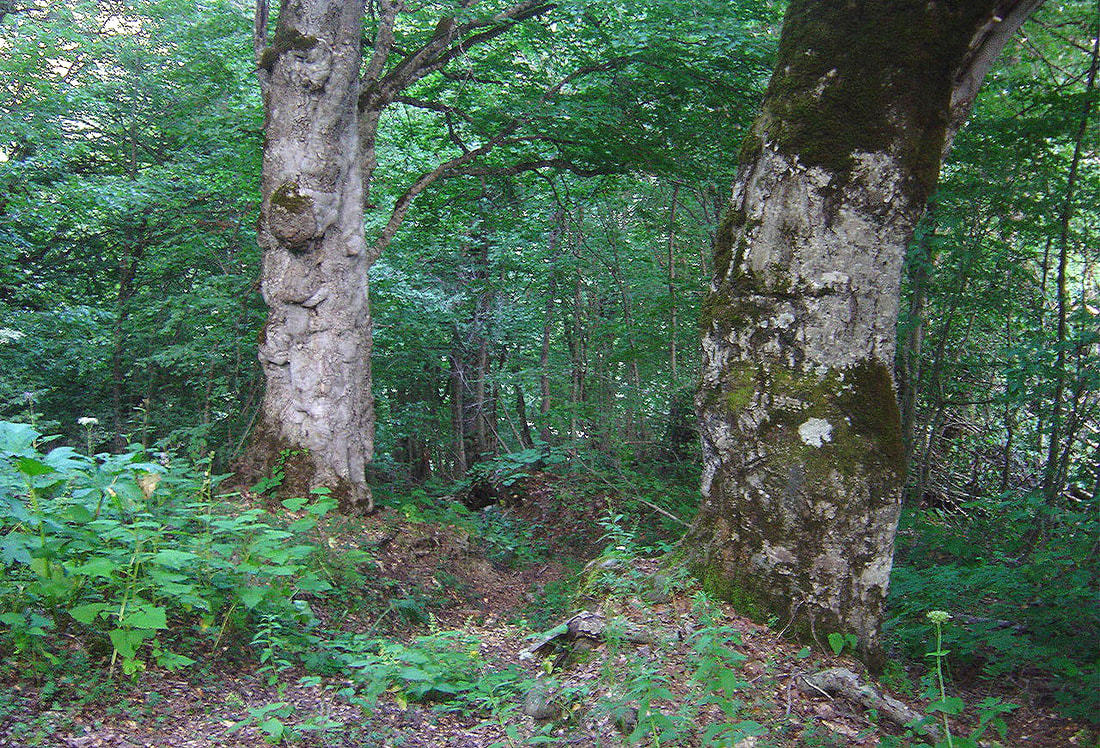
 Overgrown and ruined road to Sasvano Lakes After crossing Sasvano creek and overgrown meadow the trail turned west and climbed steeply amid the trees. Higher up I noticed some traces of an old road. There were white-red marks every 300m or so. 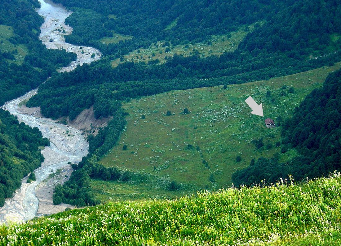 Later on upon leaving a tree-line that already faint trail almost disappeared in thick grass. The Refuge and the river came into view (photo above). After a while, on the ridge, it appeared again bringing me to the first and smaller lake. It's waters were muddy and I couldn't not spot any appropriate place for camping. Tall grass was everywhere. 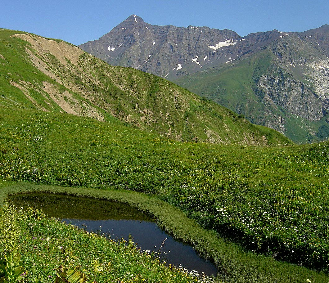 Soon I arrived to the second lake. Grass there was thinner and there were plenty of spots for camping. Lechkhumi range was already close and it took me another 30 minutes to get there. 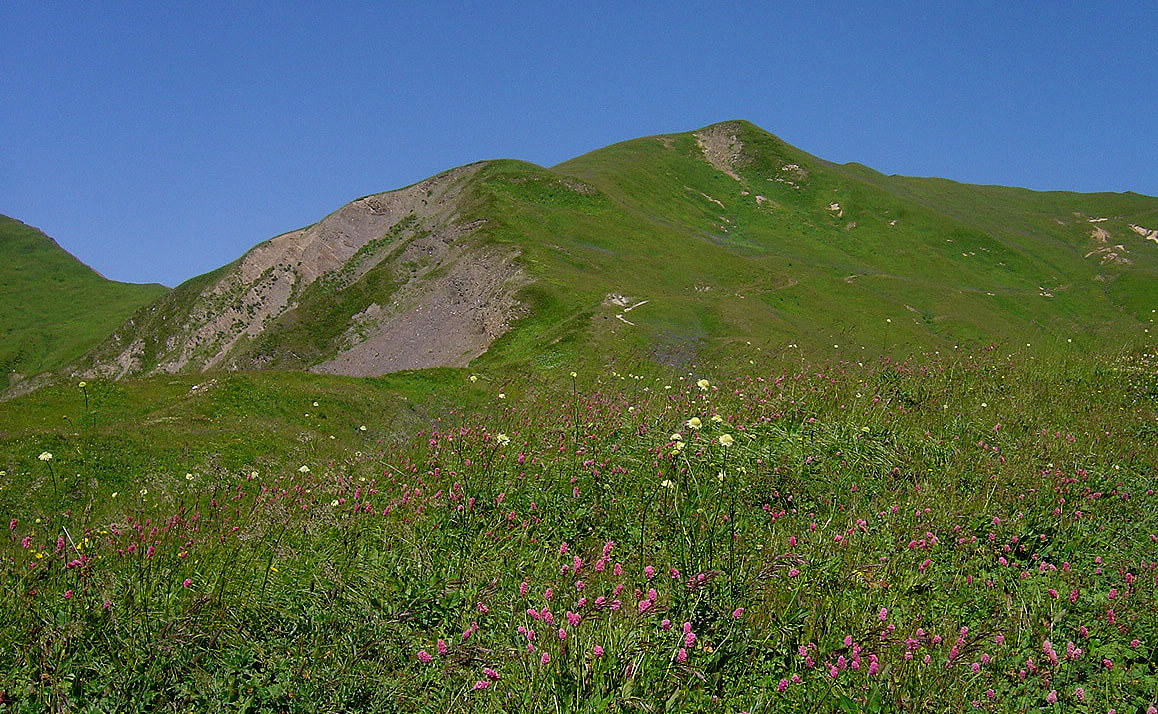 Beautiful sunny day, refreshing wind and magnificent views into Tskheniskhali valley (translated as horse water). Even Ushba was visible in a haze of a distant horizon... 1. Tetnuld 2. Ushba 3. Dadiashi 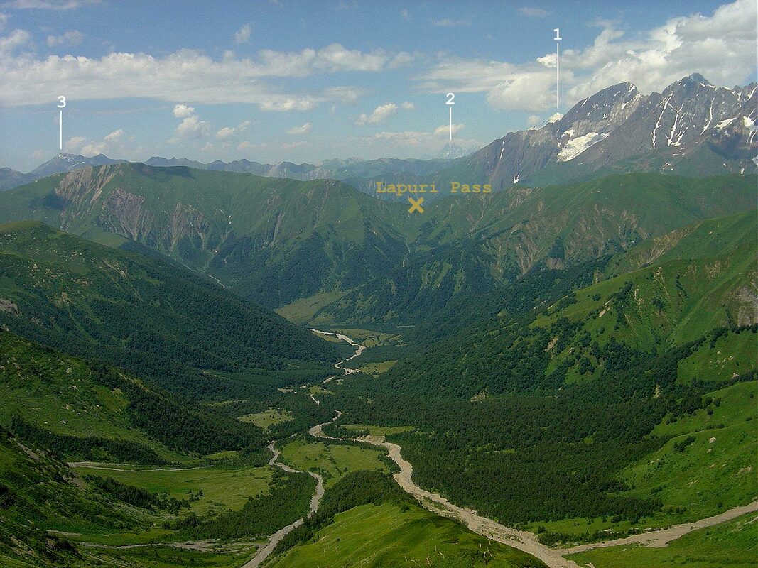 Looking north I was attracted by magnificent West Edena glacier whose three sharp tongues hanged on the rocky face of Geze-Tau (4008m). The main glacier was a typical valley glacier and it's ice and snow gave birth to Rioni. 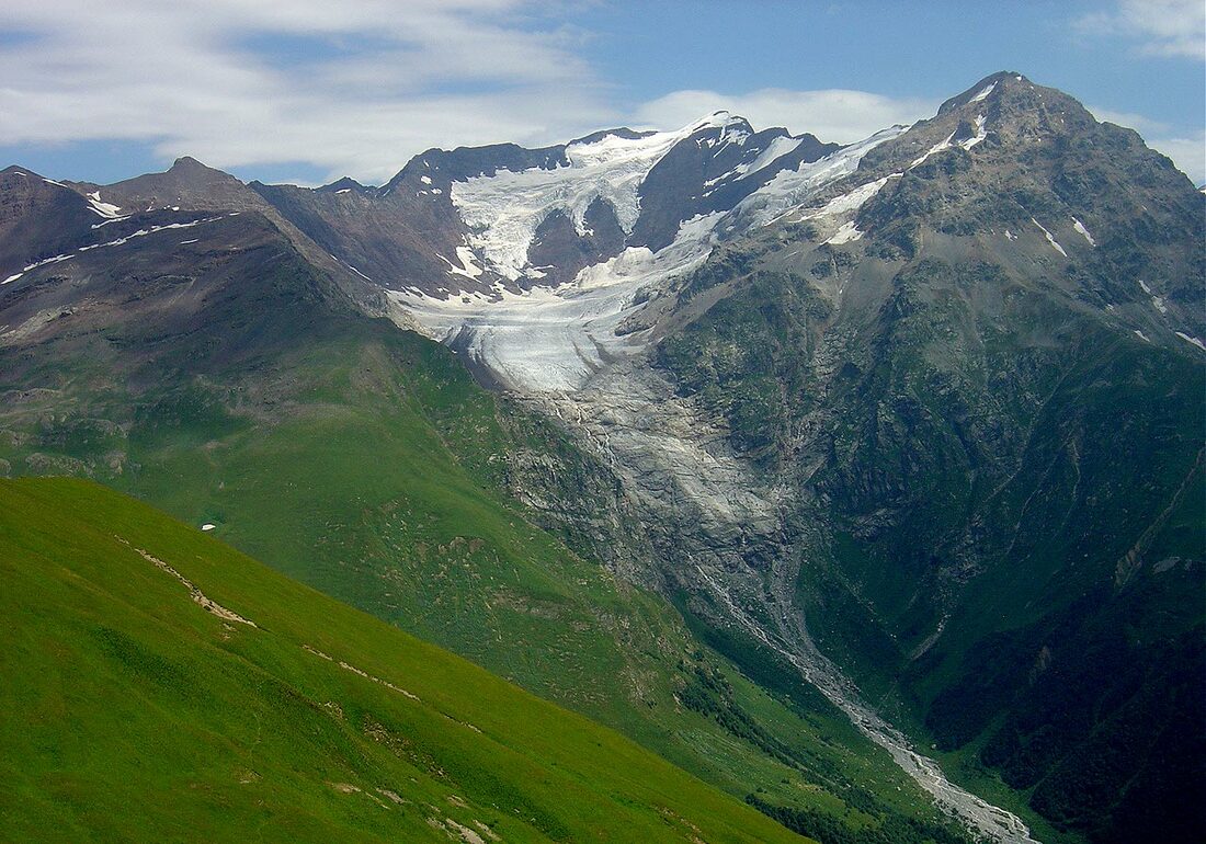 Looking south and above I could see a long ridge leading to the summit of Lukhunistsveri (3216m). This whole landscape reminded me of Scotish Hills. And so up I went. 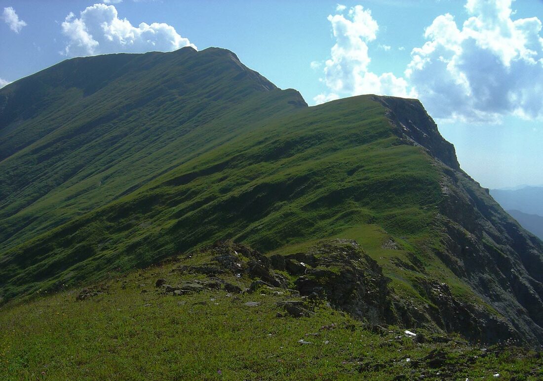 It's east side above Sasvano gorge is not steep, the west side is broken and precipitous One hump led to another which seemed to be the last one. Not at all! In the foreground is the ridge of Lukhunistsveri , in the background are the peaks of the Main Caucasus Range. 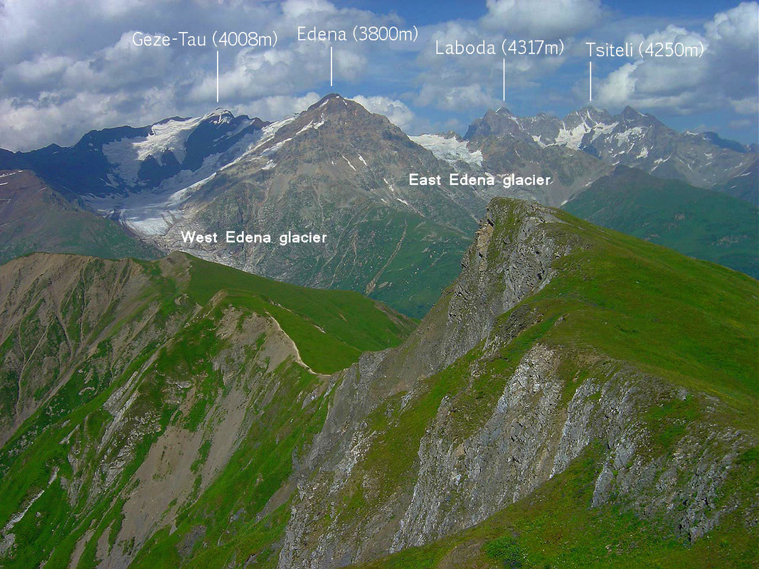 After 2,5 hours of ascent I finally reached the flat and wide top of Luhunistveri. The view was sublime. Tskheniskali and Rioni valleys merged into the distant horizon. High peaks of Racha were perfectly visible. Behind them is Karaugom Plateau which is among the largest in the Caucasus. 1. Tsihvarga (4138m) 2. Burdzhula (4357m) 3. Karaugom (4347m) 4. Uilpata (4638m) 5. Double-Peak (4350m) 6. Bubis (4468m) 7. Chanchakhi (4450m) 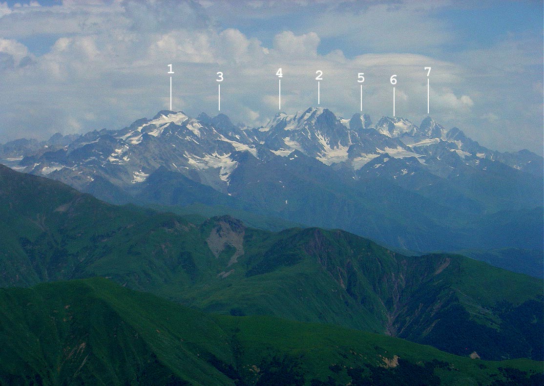 East view with Rioni valley. In the center are those folded mountains known mainly because of Udziro Lake, in the right - Mount Shoda (3607m). 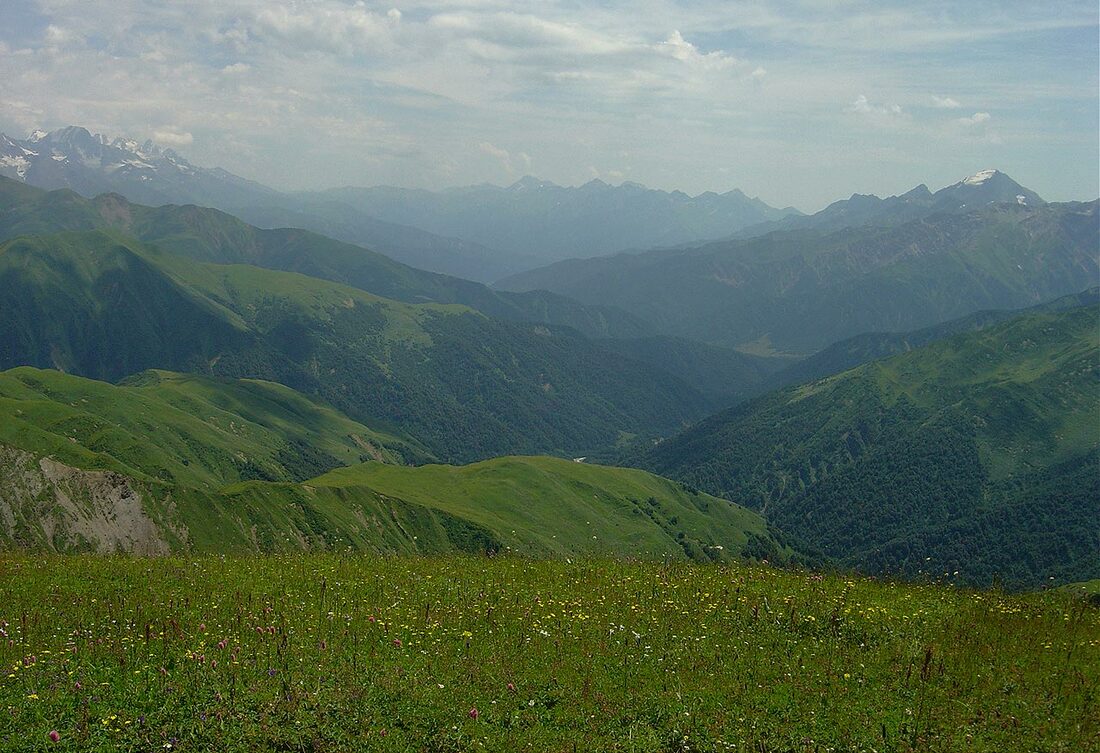 Spent almost two hours on the summit and during that time weather started to change. Svaneti horizon turned misty and wind started to blow. Time to climb down... Upper Sasvano Lake 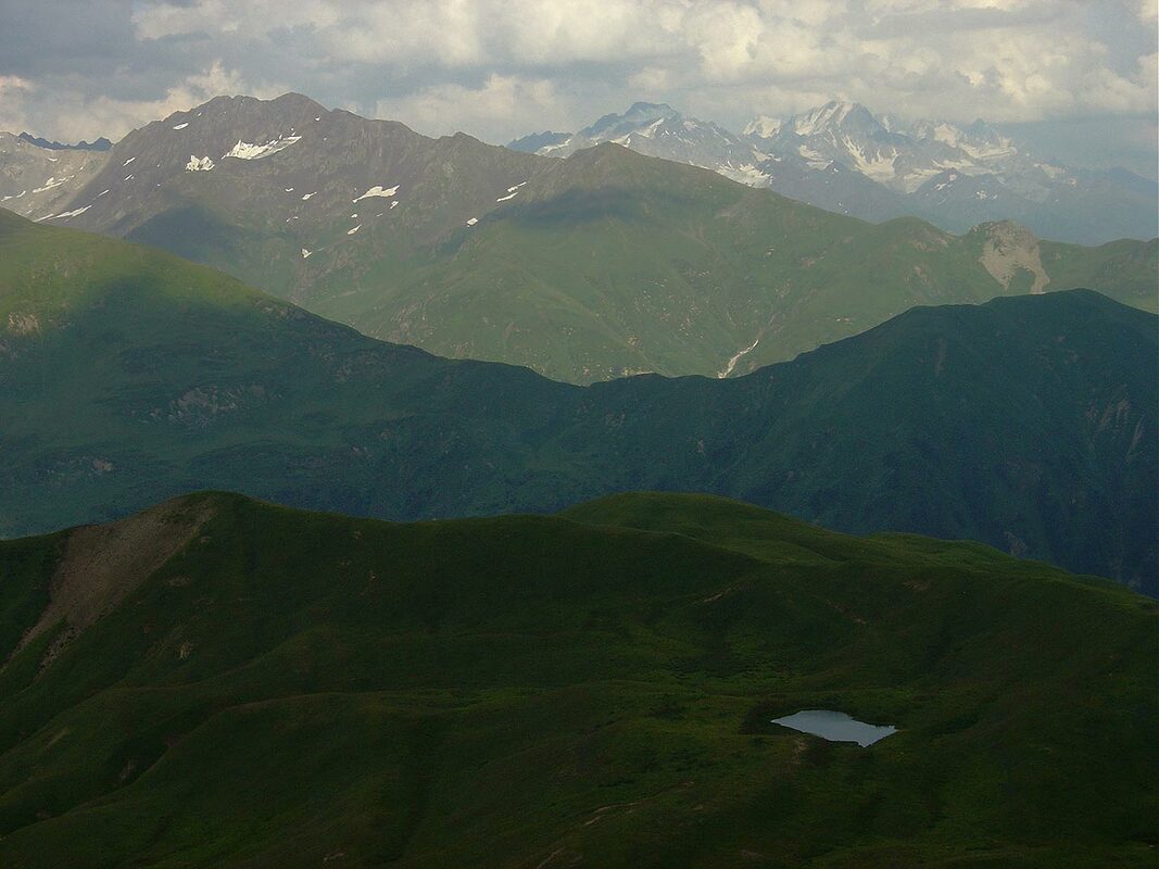 At 8 PM returned to my "residence" and just in time. Heavy rain started almost immediately and continued all night long. 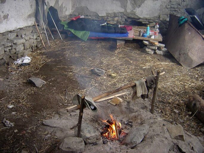 Morning was cloudy and rainy. I walked back to Gebi. It was much easier because of cooler weather but fording those side streams was quite unpleasant. On sunny days their surface was hard and consolidated clay which after rainy night turned into a deep mud. With heavy backpack it wasn't fun at all... River bed of Rioni unrecognizable after heavy rains 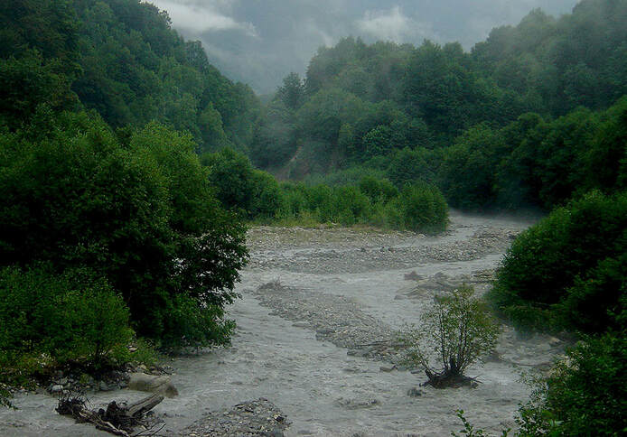 Came to Shiukachala in 2 hours and was invited by a local man who stay there with his old parents. Cheese, bread, matsoni and Saperavi were put on table and proved again that hospitality comes naturally to this hardworking people. 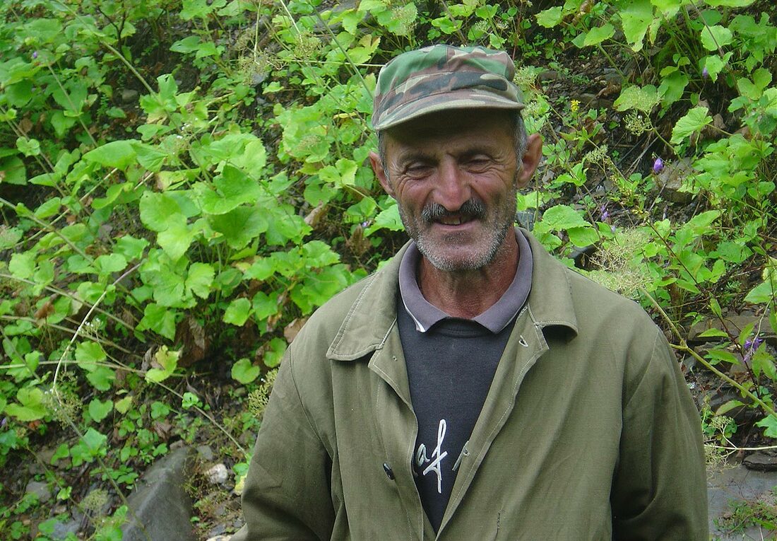 And few hours later while I was approaching Gebi this same man shouted across the river: " Wait near the school building and at 6 the bus will come!" And so it was. 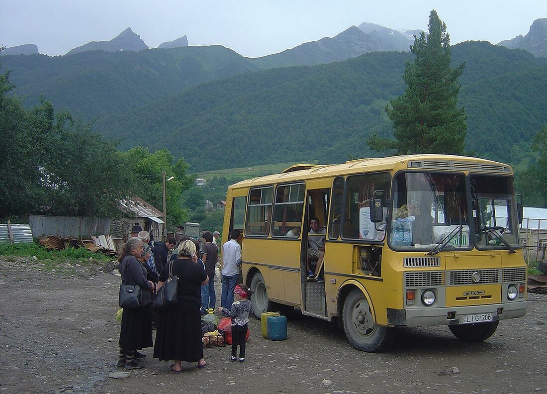 In Oni, again! Spent the night at the house of Nino and Yuriy. In the evening I was treated by delicious meal at the guesthouse "Gallery". And the next day, by late hours of afternoon I was back in Tbilisi. Hot, crowded and noisy. 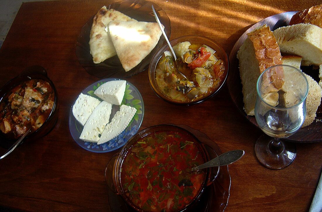 Map of the route. Gebi > Shiukachala > Sasvano lakes > Lechkhumi Range > Mt. Lukhunistsveri 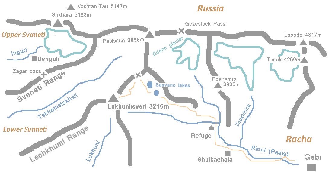
1 Comment
2017 in Twelve Pictures 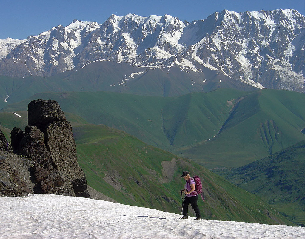 Final steps on approach to Dadiashi saddle (3050m). Icy barrier of Shkhara and Dzhangi blocks the horizon. These peaks are among the highest in the Caucasus. 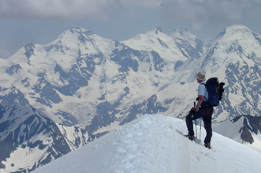 Snow ridge above Nurmish Pass (3600m) offers an unequaled views of Gestola (left) and Tetnuld (right). 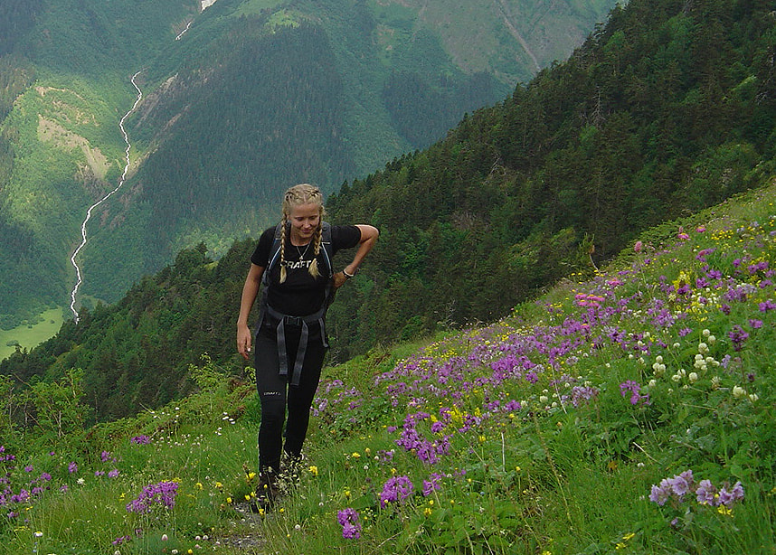 Meadows in full bloom below Mt.Latraldash (3370m). That slightly overcast day was perfect for taking pictures of flowers. Note also the white thread of mountain stream. 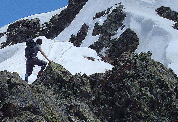 Summit ridge of Mt.Latraldash. It was the first guided climb of the season therefore the most difficult. Some care should be taken while negotiating this section. Overall this is an easy scrambling route. 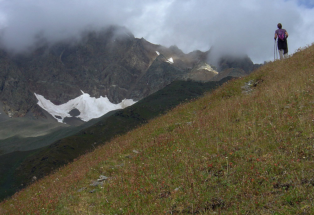 On the day hike around Mestia. 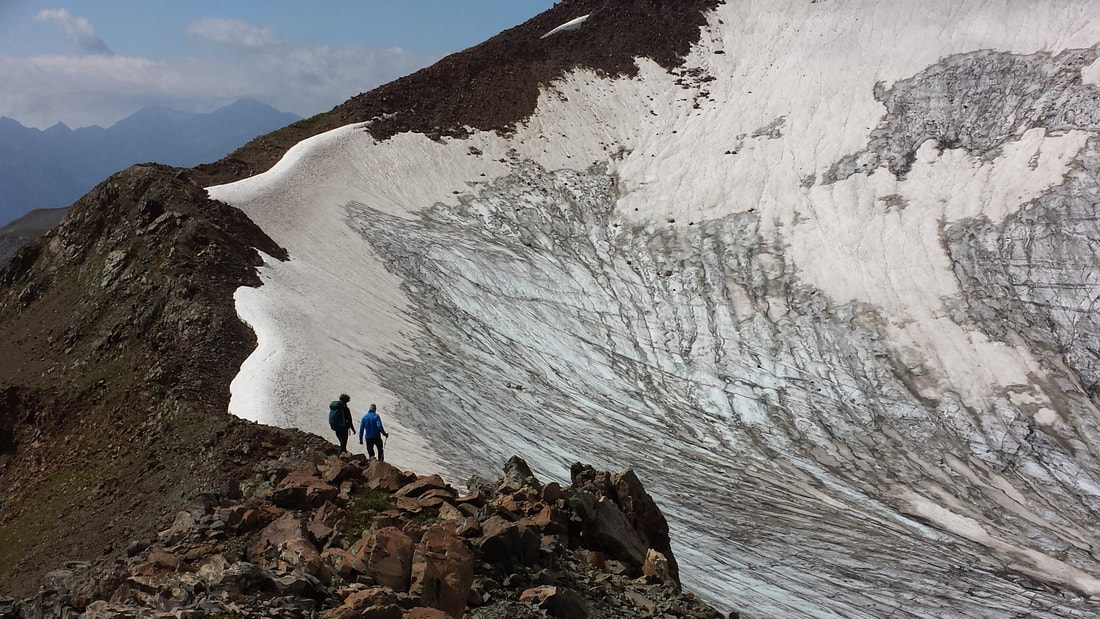 Seri glacier above Herazh plateau. In September most glaciers look this way so crampons are absolute necessity. 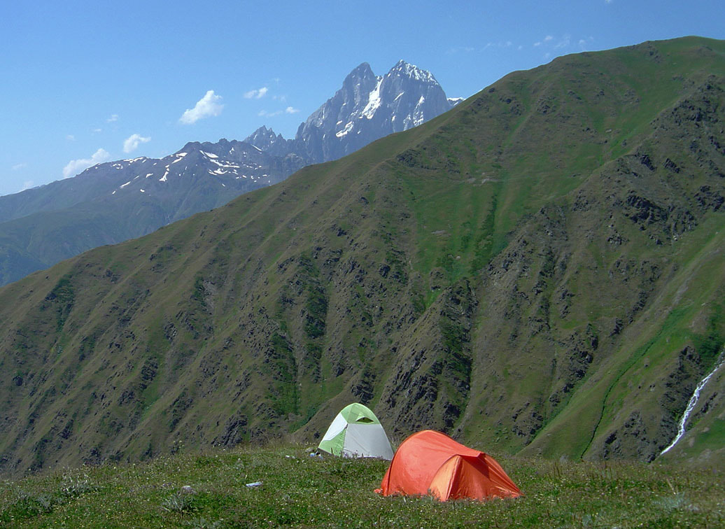 The base camp of peak Komsomol at 2600m. Another 1100m should be climbed to reach it's top with splendid views of Svaneti mountains. Ushba is as always present! 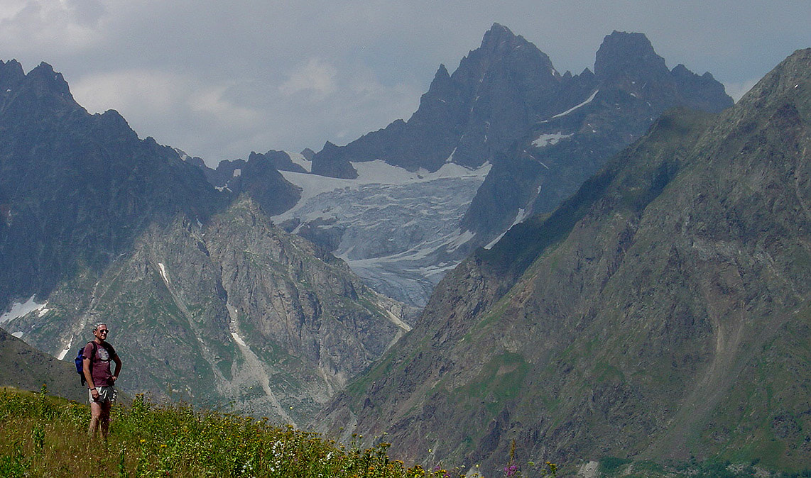 In the forgotten corner of Svaneti. Peaks, glaciers and meadows. 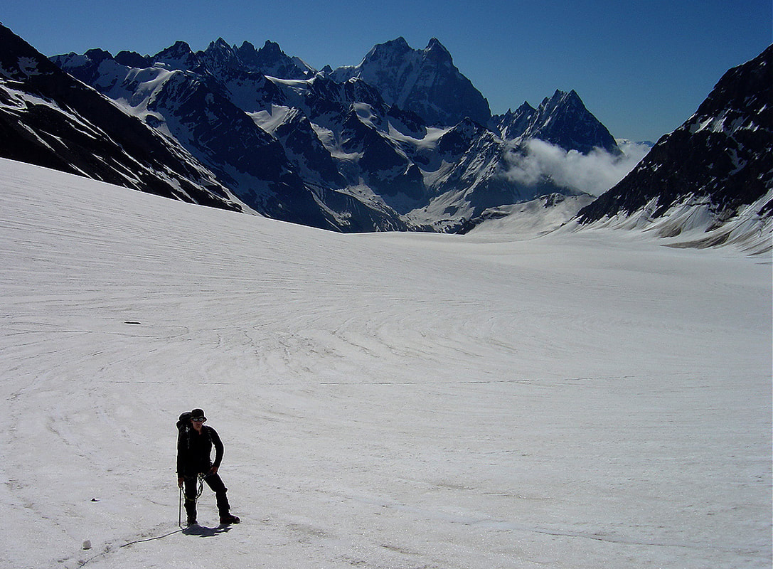 White expanse of Dolra glacier which is among the largest in Svaneti. Cloudless day with great views of Ushba and surrounding peaks. 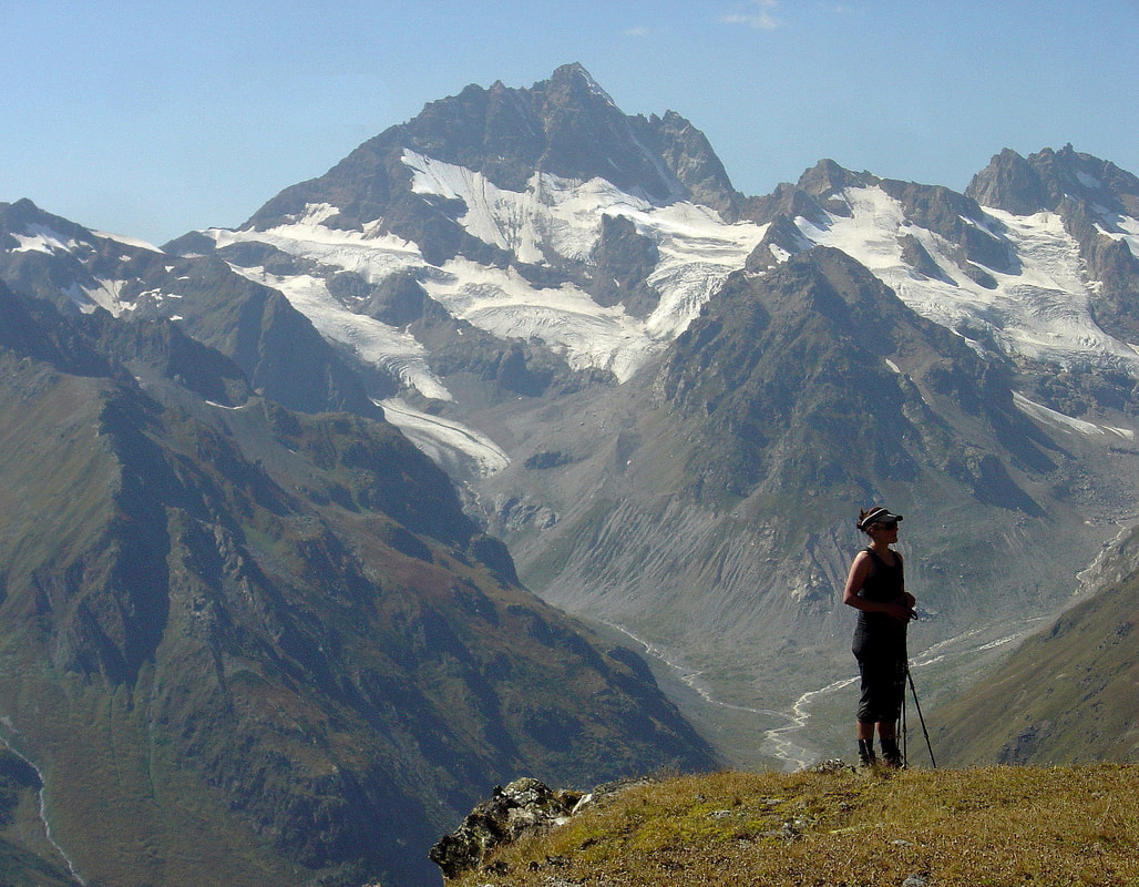 Beautiful late afternoon in September after climbing Mt.Kvamp (3560m) 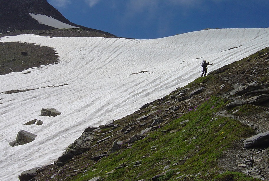 Approaching Chizhdi Pass (3100m) on the way to Mt.Layla 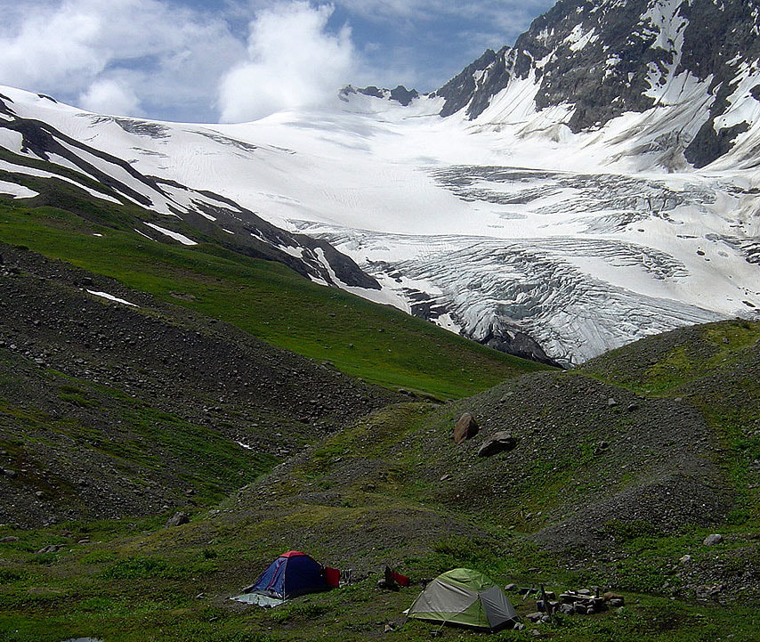 West Layla glacier and the base camp (2700m) of Mt.Layla
|
 RSS Feed